Current Conditions:
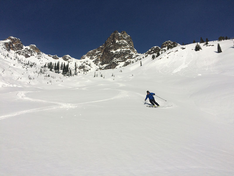
Washington Pass: The warmest temps of the winter were recorded last week with freezing levels going to 12,500′ and high temps in the 50’s in the mountains. Spring conditions existed for a couple of days, before freezing levels dropped and left a crust on nearly all the snow surfaces. Recent wet but warm weather has brought rain to about 6000′ and lots of new snow above. This new load on top of the Feb 11th crust has triggered a widespread avalanche cycle early this week. In safe terrain up high, great deep powder conditions currently exist. With a cooling trend in the forecast, conditions for skiing this weekend could be superb.
Stevens Pass: The reset button has been pushed at Stevens Pass and we should be picking up new snow starting on Thursday. By the weekend the skiing should be quite good with close to a foot of new snow in the forecast. The best skiing will most likely be found near the crest where the deepest amounts of new snow will be found. Saturday and Sunday should be good powder skiing but if you are looking to get into the alpine you might want to wait until Monday when they forecast is calling for clearing weather.
Snowpack observations:
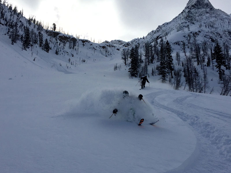
While the weather has kept observations to a minimum lately, we do know there was awidespread avalanche cycle between the evening of the 14th through the 15th. Many slopes released naturally down to the Feb 11th crust that formed during the unseasonably warm weather last week. To add another “W” into the picture, our recent wet, warm weather was also windy! Strong SW winds have built unstable windslabs on a variety of slopes. Unfortunately since our mountains dont run North -South, its not as simple as saying that SW winds produced windslabs on NE aspects. Due to the complexity of our terrain, many slopes around the compass will have windslab issues. Telltale signs are varying depths of ski penetration, feeling stiffer snow above softer snow with your pole, freshly built cornices and wind sculpting of the snow surface. For the time being, best to give a healthy buffer to these wind effected slopes. Deeper down, the crust from late January now sits down around a meter and has not been yielding any results in snowpack tests.
Skiing Forecast:
With more snow in the forecast and much lower freezing levels forecast, the skiing this weekend could be great. There is a cooling trend for the remainder of the week and both Saturday and Sunday have the lowest freezing levels we have seen in weeks. When combined with continued light to moderate snow almost every day, we are setting up for some high quality skiing. Winter is back….